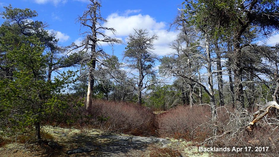
 Biologist David P explored the shoreline of Colpitt Lake on the last day of spring, 2015. The acidic water is brown from humic acids, but otherwise clear and there are no signs of any eutrophication. The shore is bordered only by native vegetation. It is a rugged shoreline fringed by wetlands a meter to 25 m or more in width. A video documents the pristine state of the Colpitt Lake shoreline in 2015.
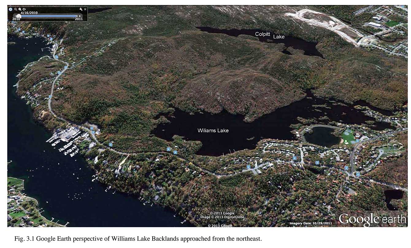 Google Earth 3D perspective of Williams Lake Backlands |
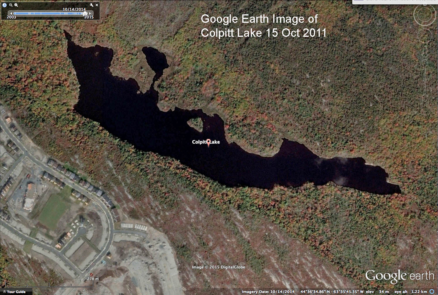 Google Earth Image of Colpitt Lake, 15 Oct 2015 View 2014 Report on Williams Lake Backlands for description of the terrain, and how to interpret the Google Earth Images. Click on these map images for larger versions. |
 Panoramic view of Colpitt Lake, Nov 1, 2011 |