
Still Drafting…
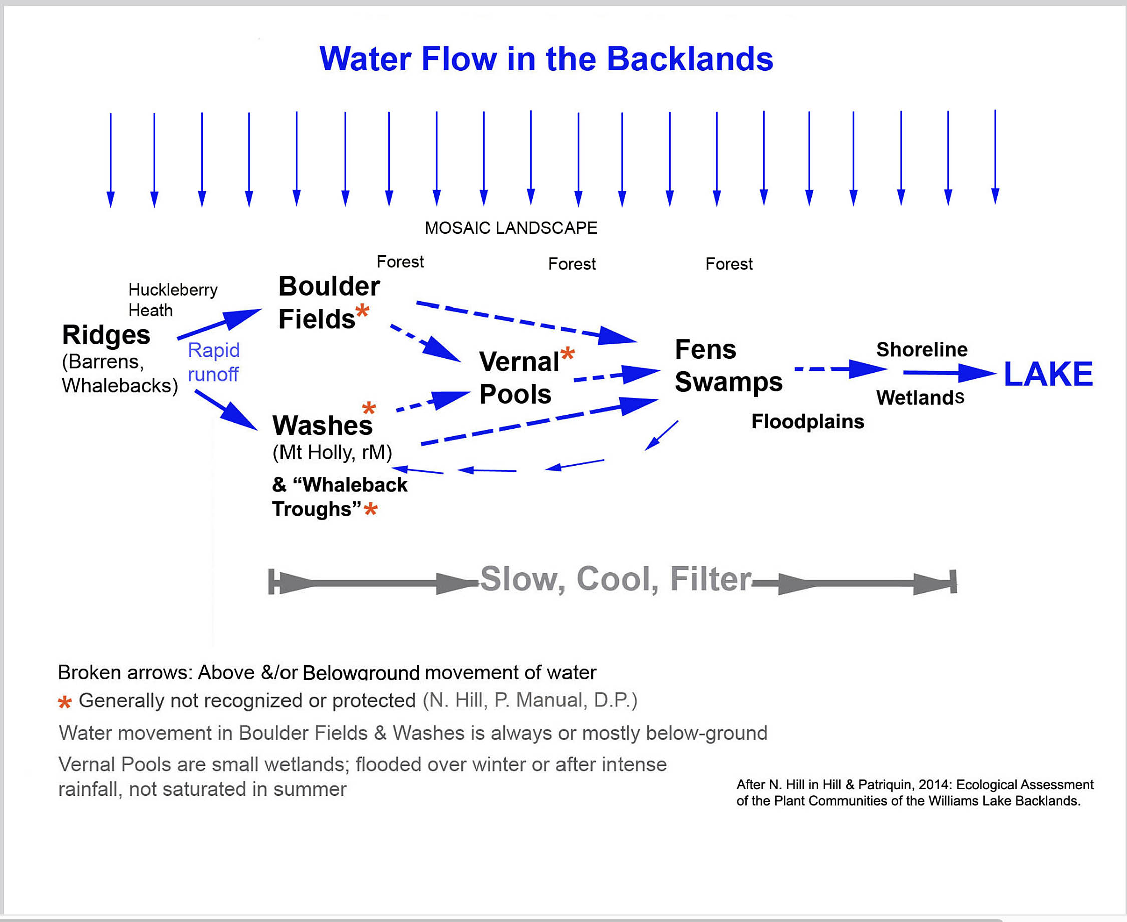
Water flow in the Backlands
This page presents a set of photos taken Apr 19, 2025 in the Shaw Wilderness Park, proceeding from (i) Lawsons Brook (which drains Etu’panuek/Williams Lake), thence (ii) to Etu’panuek/Williams Lake, (iii) to the bottom of the “Etu’qamikejk Watercourse”* and proceeding upstream through a secondary water course and a finally a tertiary watercourse.
*The “Etu’qamikejk Watercourse” carries water flowing into and then along the geological contact zone (“Etu’qamikejk”), eventually draining into Etu’panuek/Williams Lake.
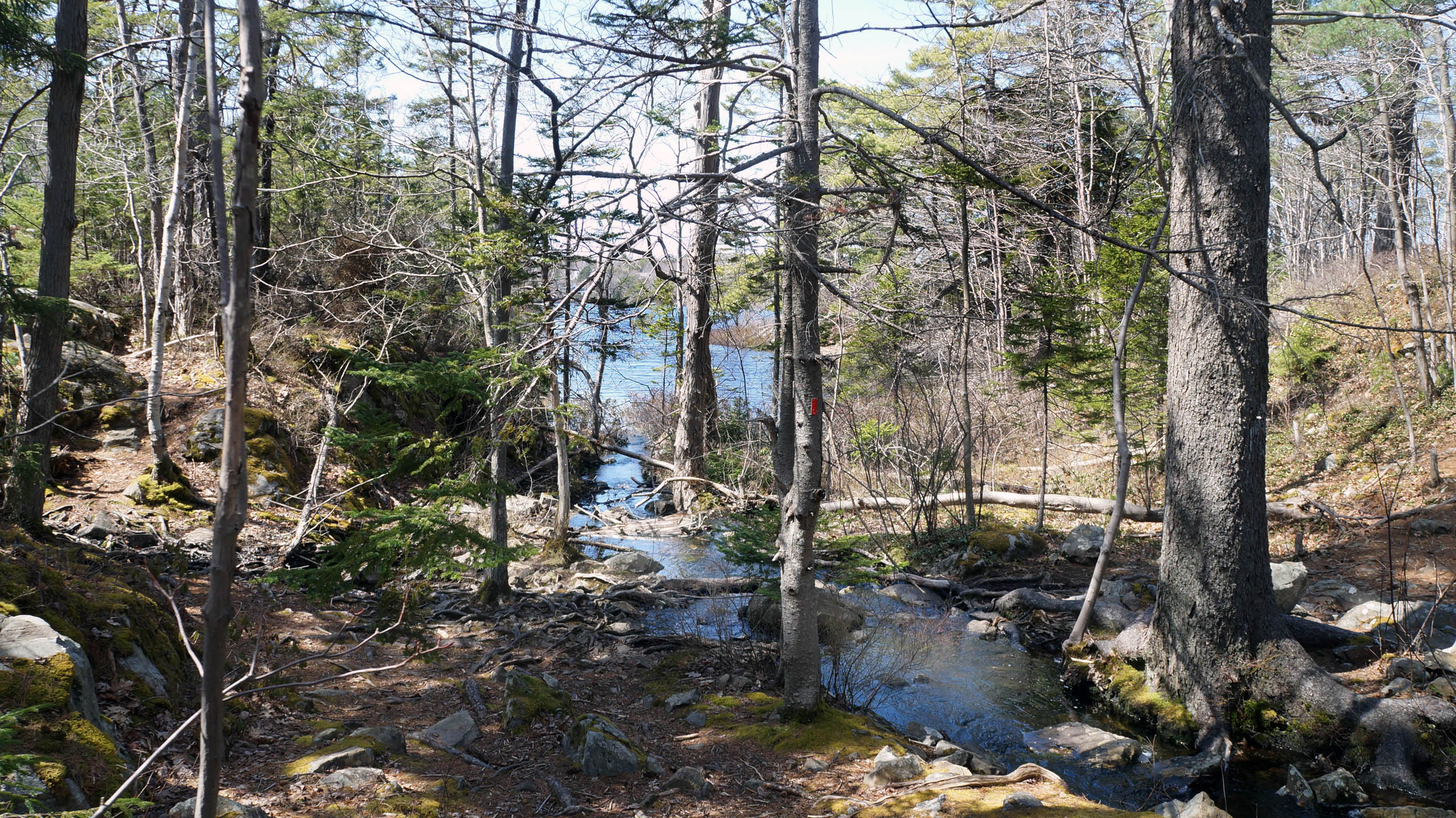
Proceeding upstream on the Etu’qamikejk Watercourse, it is initially is mostly “lentic” – flowing surface water – until we approach Walquqmikek , the Gulley where the flow is alternately on the surface or just below a rocky surface (one can hear the water flowing but not see it).
Immediately above Walquqmikek/the Gulley, is Skipaqmikt a large seasonal swamp/vernal pool complex, which receives surface and below-ground flow from several directions.
The photos then follow a series of vernal pool “nodes” proceeding upstream on a branch of the Etu’qamikejk Watercourse (i.e. on a secondary watercourse) that originates on the elevated Jack-Pine Broom Crowberry barrens to the south. There are vernal ponds at 6 levels (L1-L6), above Skipaqmikt (which itself is designated L0). There are two separate tertiary watercourses draining into L4, one on the west side of L4 one on the east, and each of those has two levels. So these are designated L5W, L6W, L5E, and L6E.
For more on the Mi’kmaw names, see Etu’qamikejk Trail.
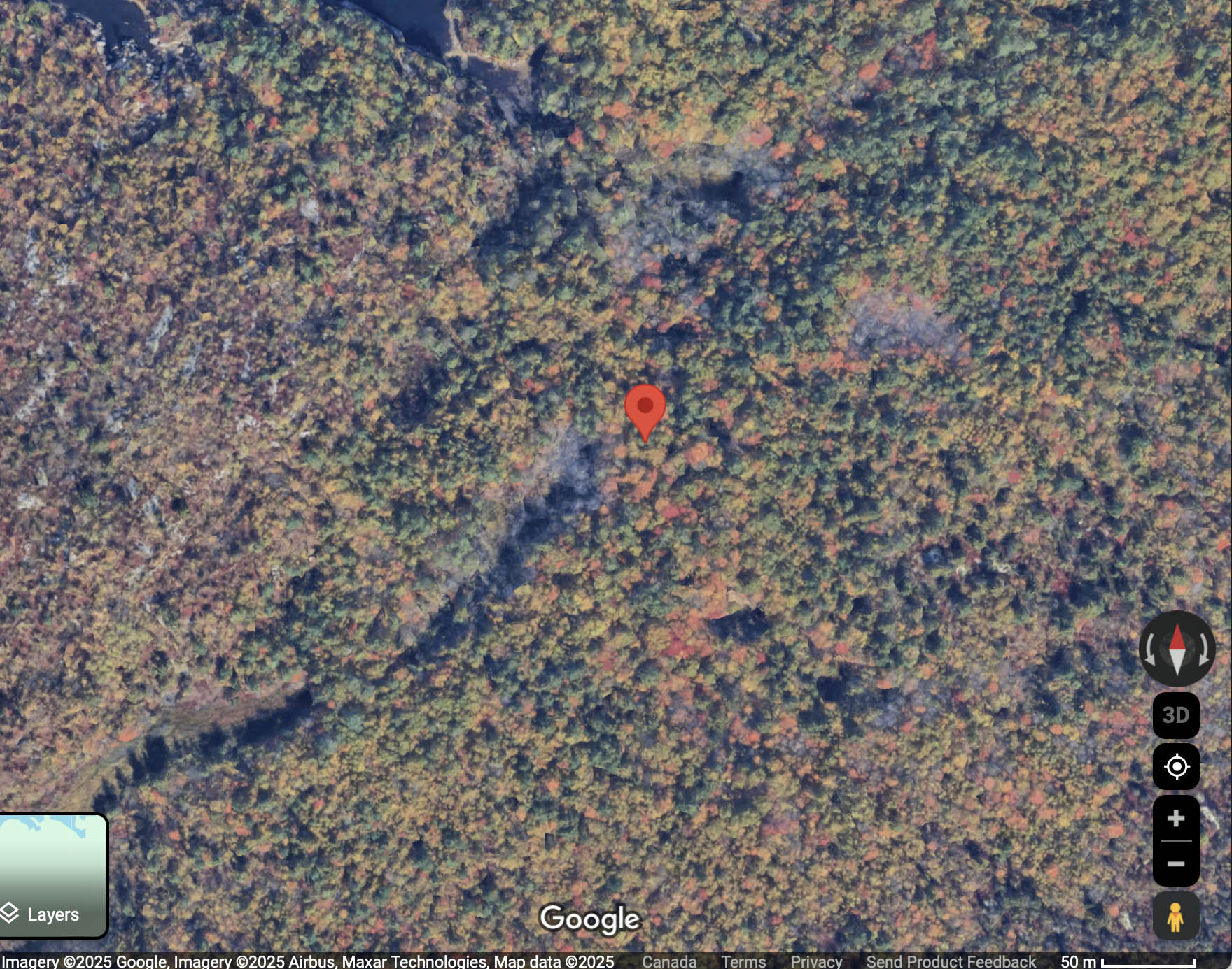
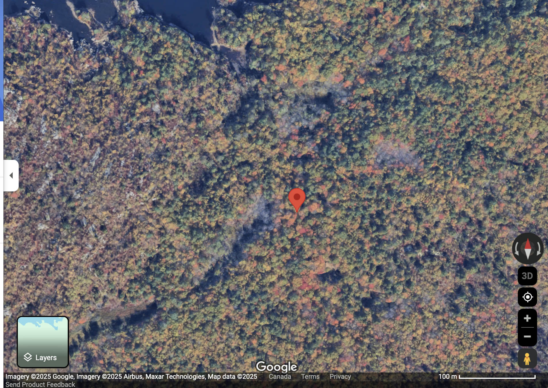
TO INSERT MAP SHOWING WATERCOURSES, LEVELS.
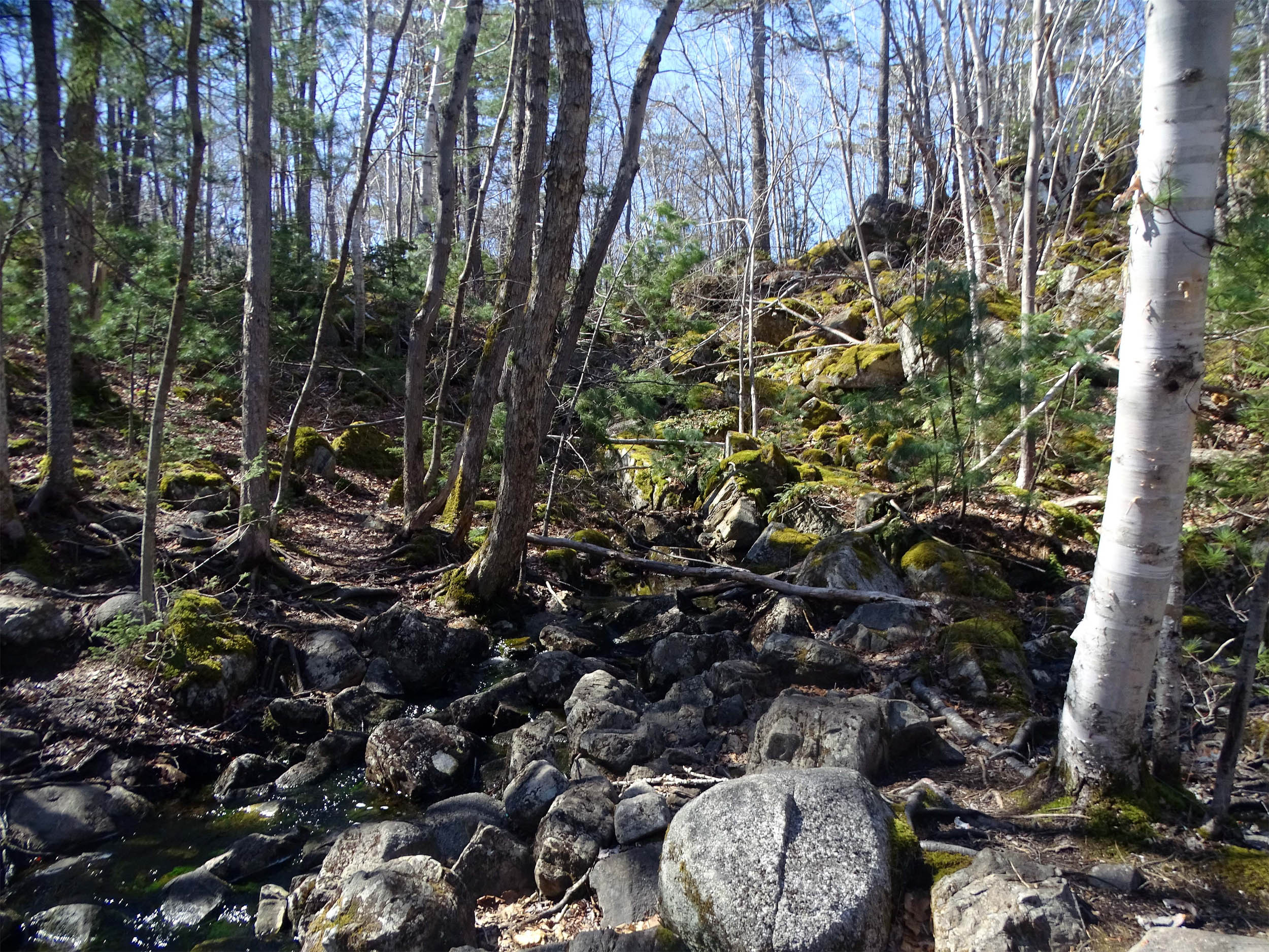
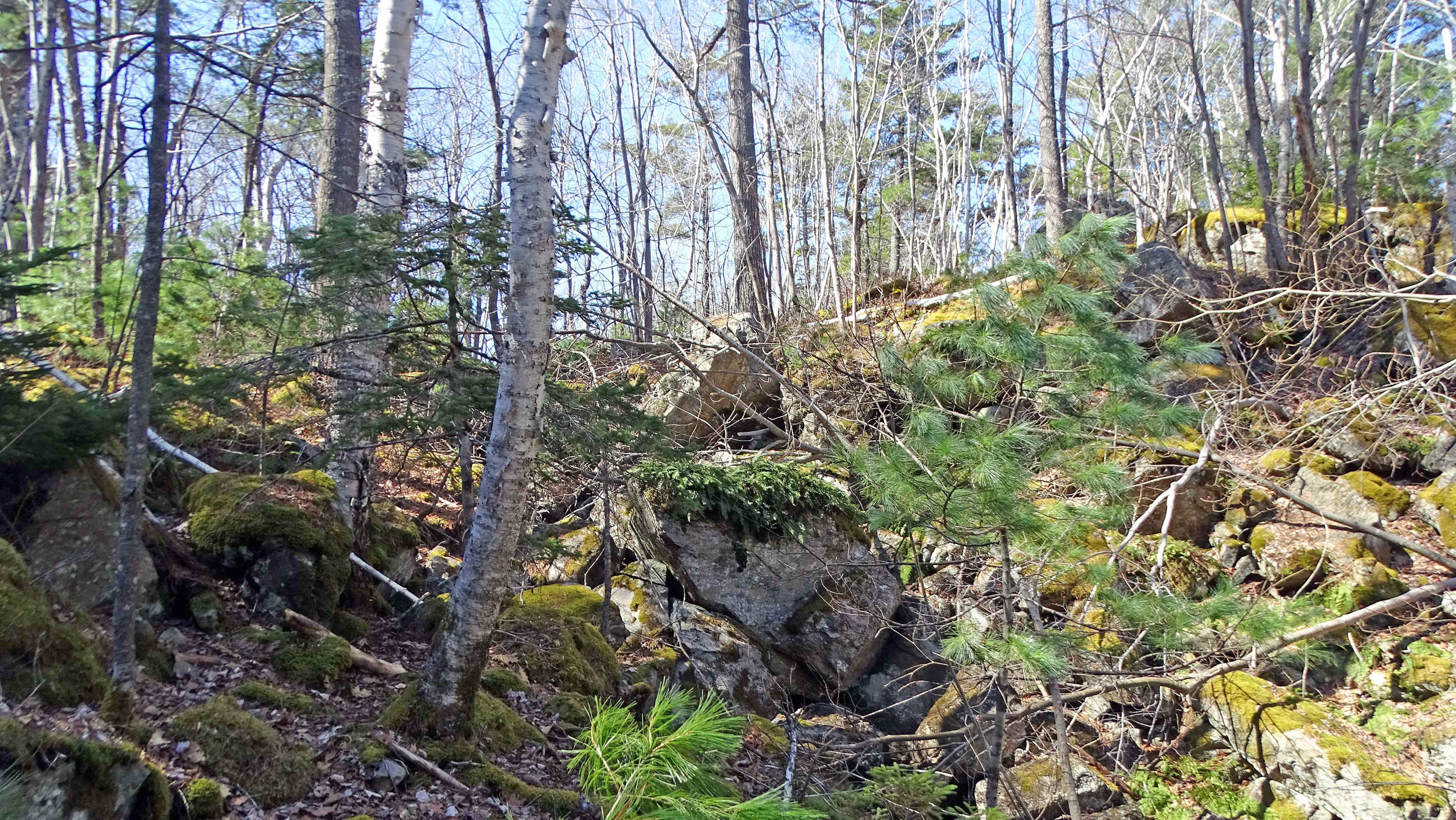
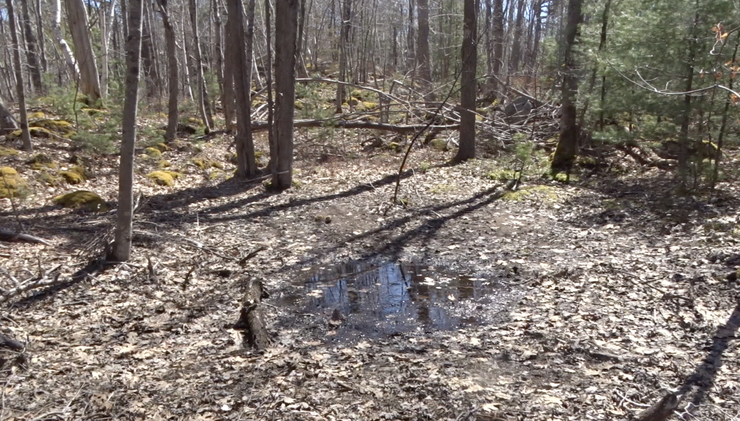
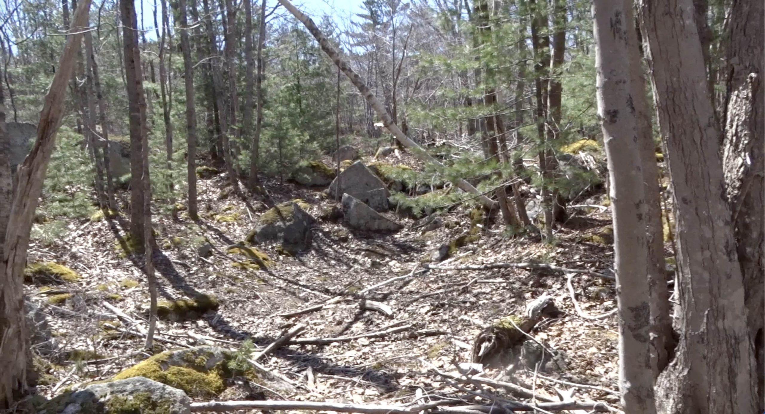
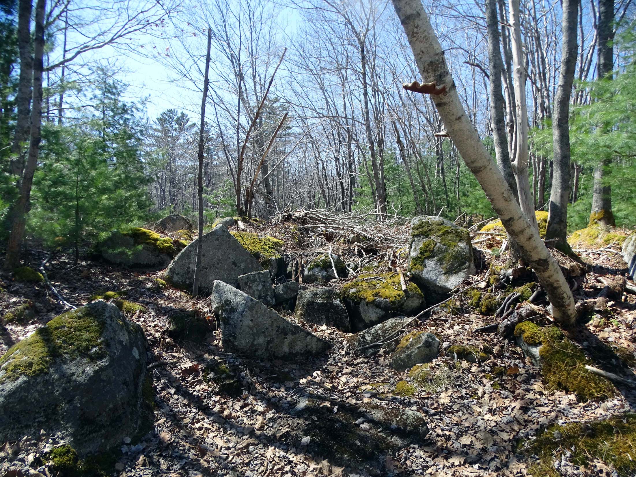
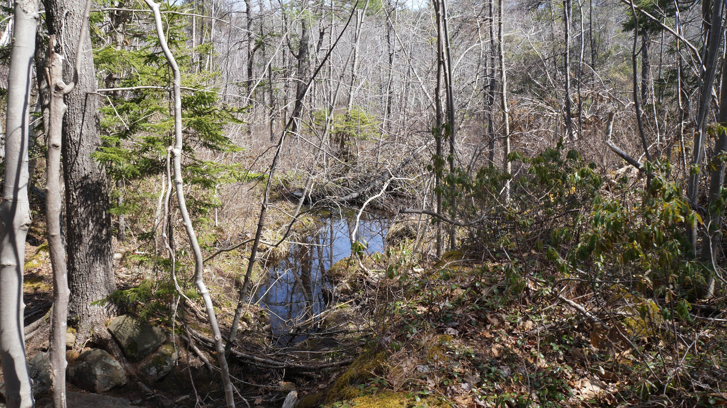
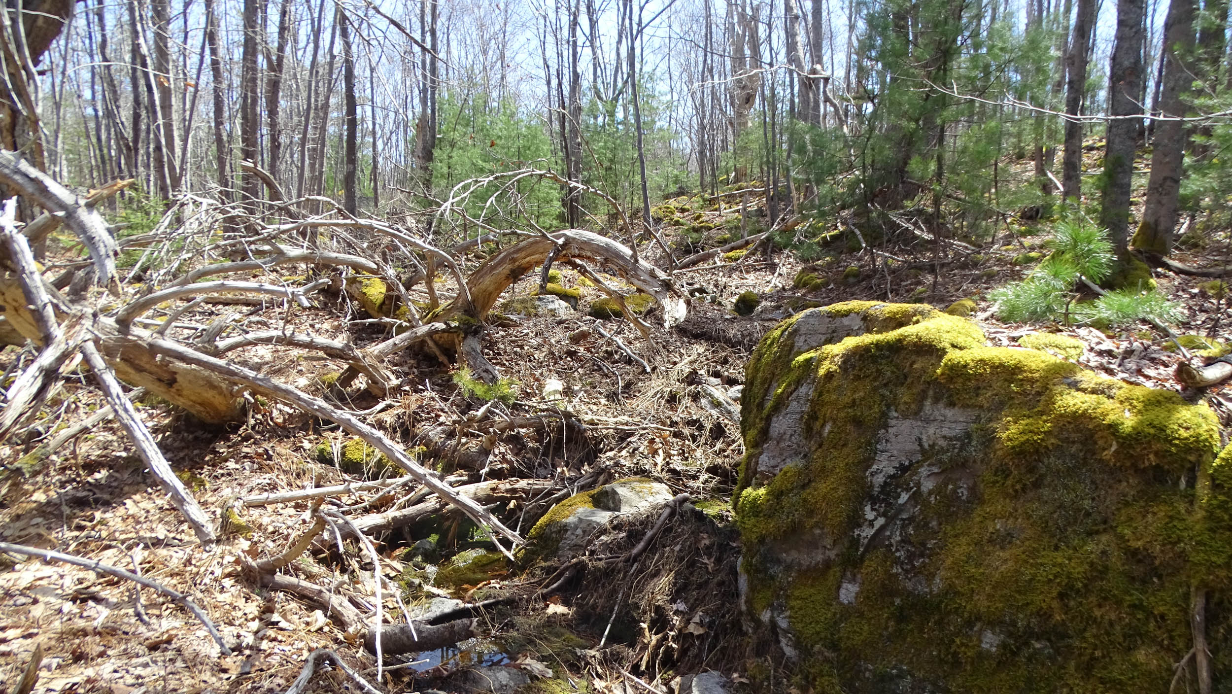
Between the different levels are distinct, often fairly steep, rocky slopes, sometimes with a lot of trapped forest debris. In most cases the water moves below-ground between levels, but here and there there may be short distances where it flows above ground or where water emerges in spring-like fashion.
PHOTOS (April 19, 2025)
Click on photos for larger versions
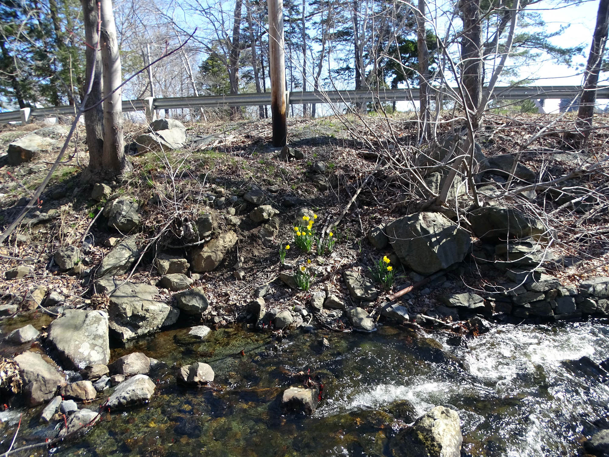
Lawson Brook just before it goes through a culvert beneath Purcells Cove Road.44.62084, – 63.583121
Lawson Brook, just below “The Dam” (in the process of beiung rebuilt) 44.62059, – 63.58711
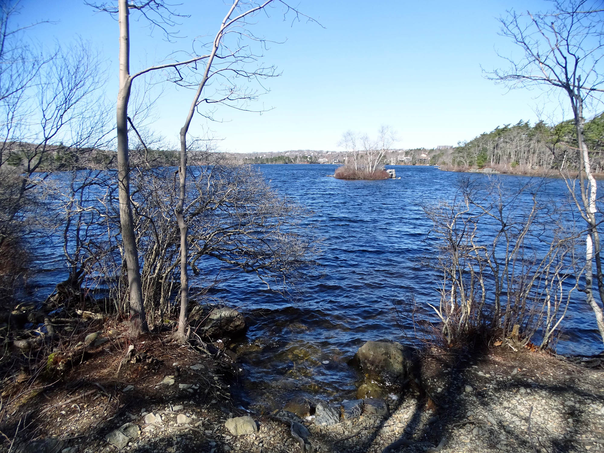
Etu’panuek, Williams Lake viewed from shore by the top of the Shaw Wilderness Park entrance Trail. 44.62065, 63.58742
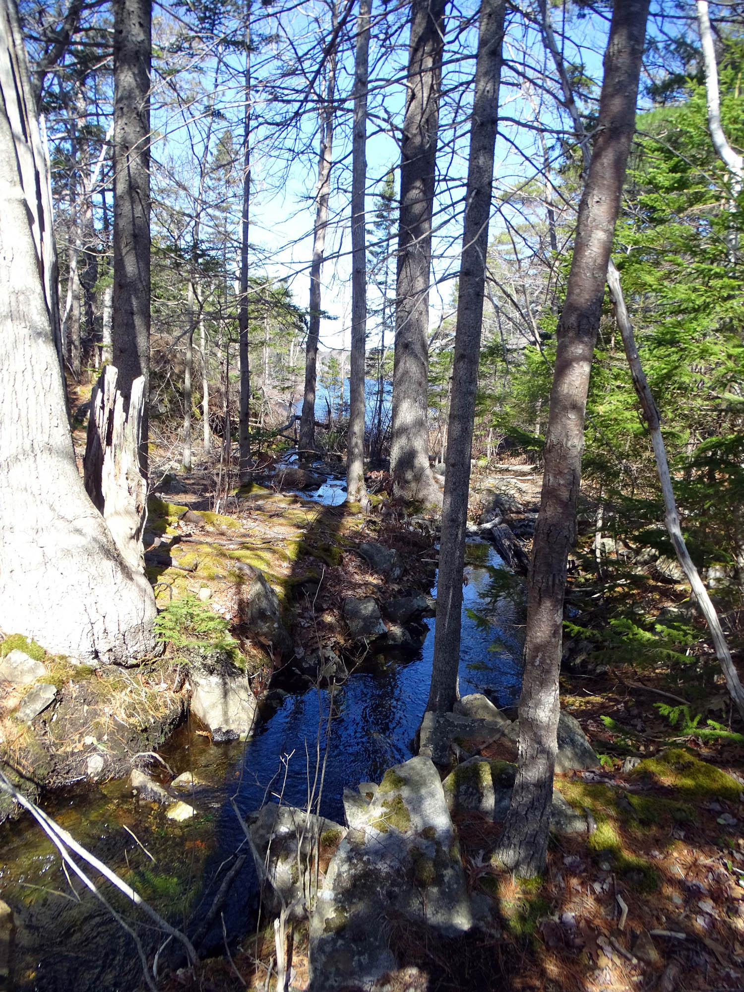
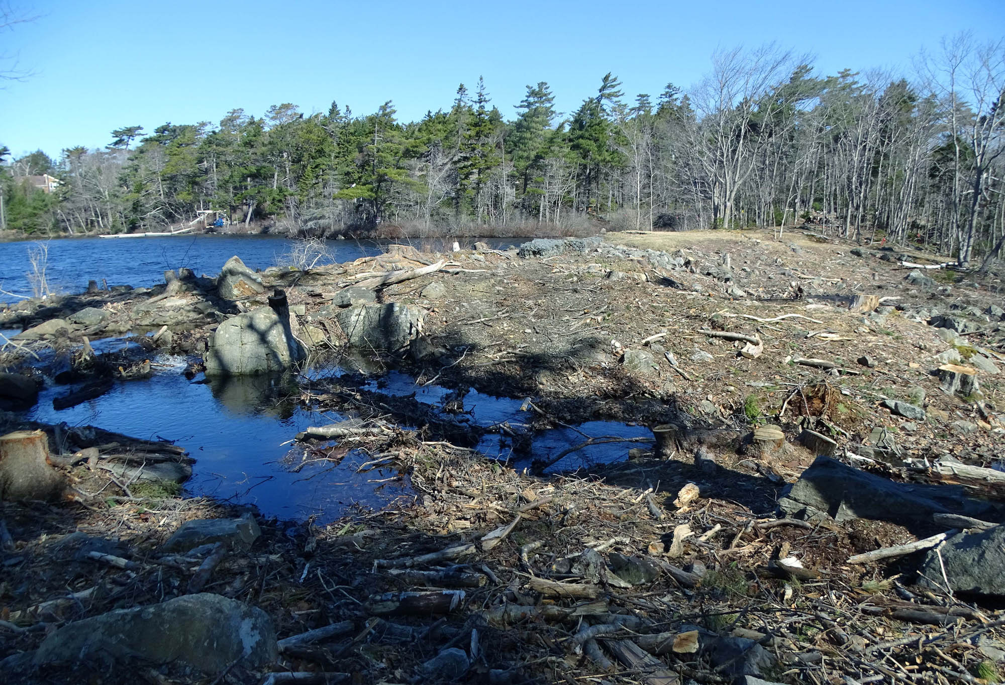
Lowert Etu’qamikejk Watercourse, Etu’panuek, Williams Lake in distance. Foreground is just below “The Crossing”. 44.61816, -63.58767
Just below “The Crossing”. 44.61816, -63.58767
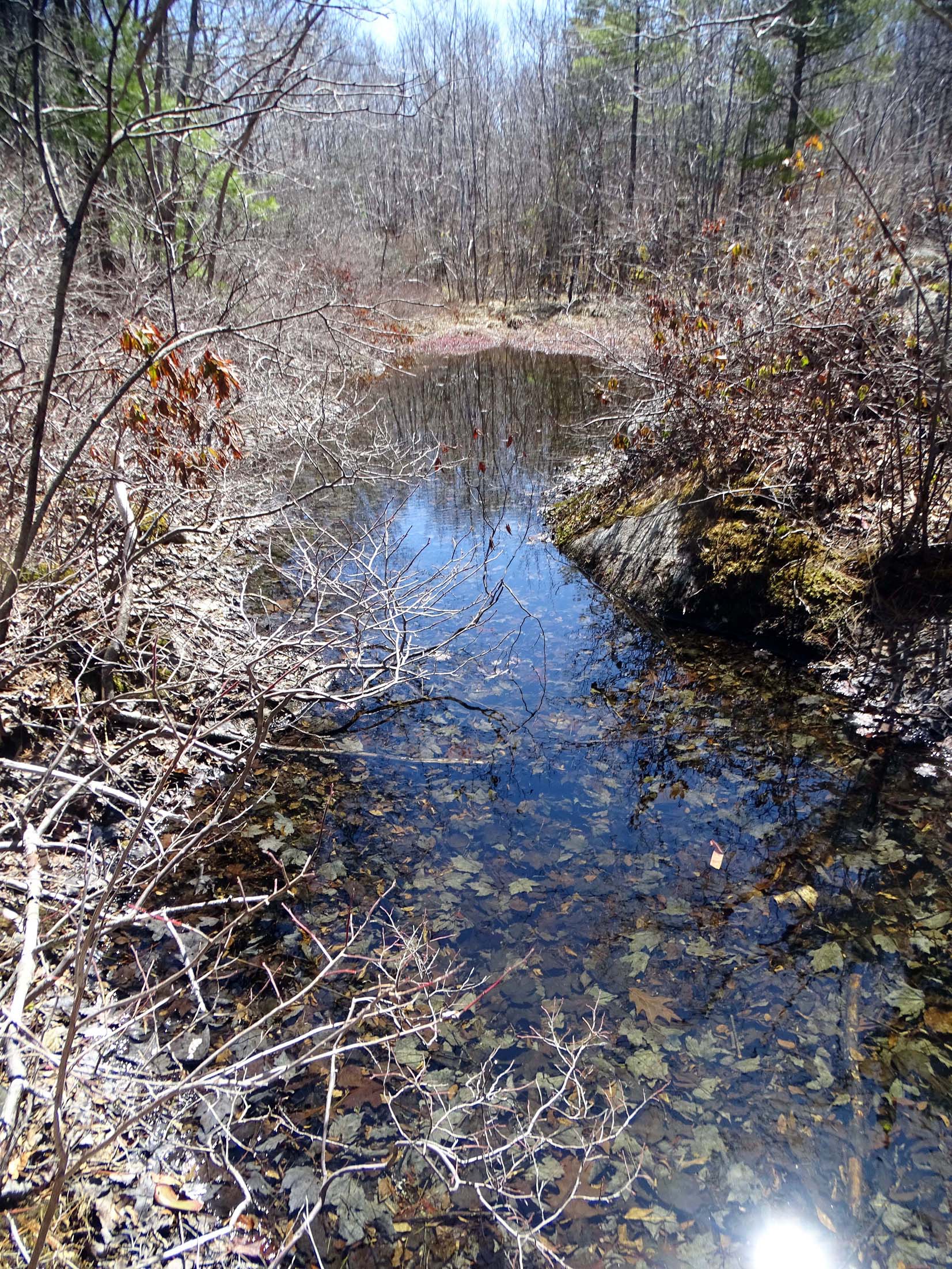
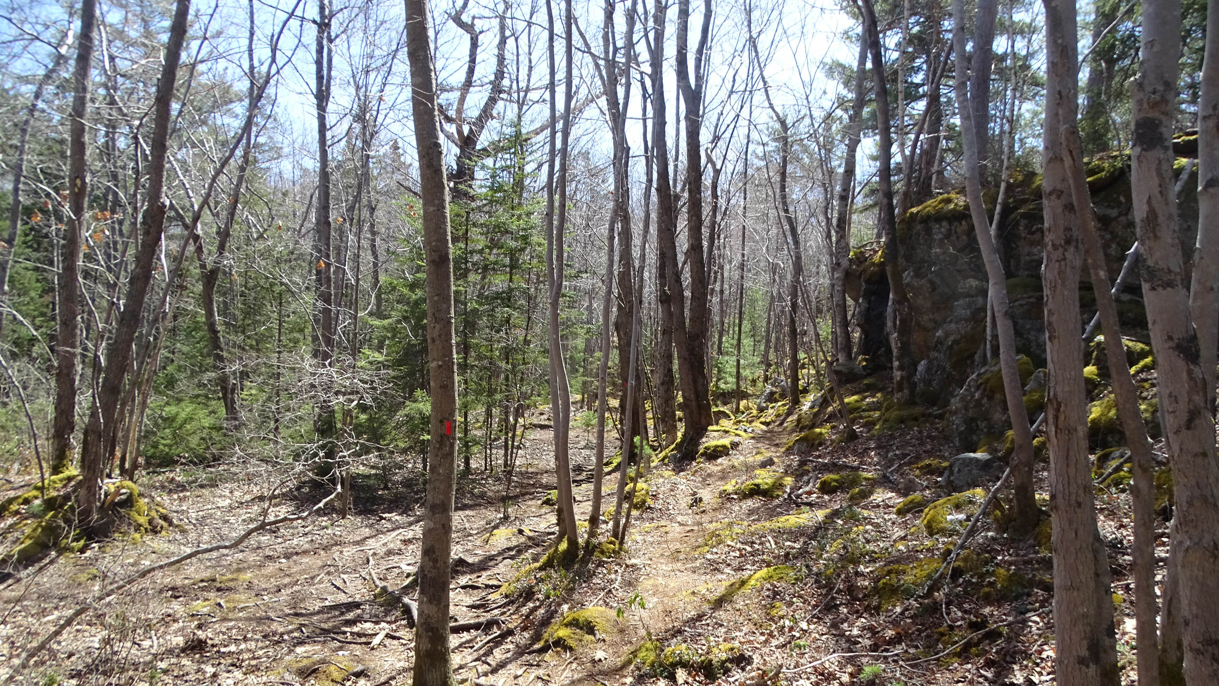
Lower Etu’qamikejk Watercourse. just above (upstream from) “The Crossing”. View upstream 44.61816, -63.58761
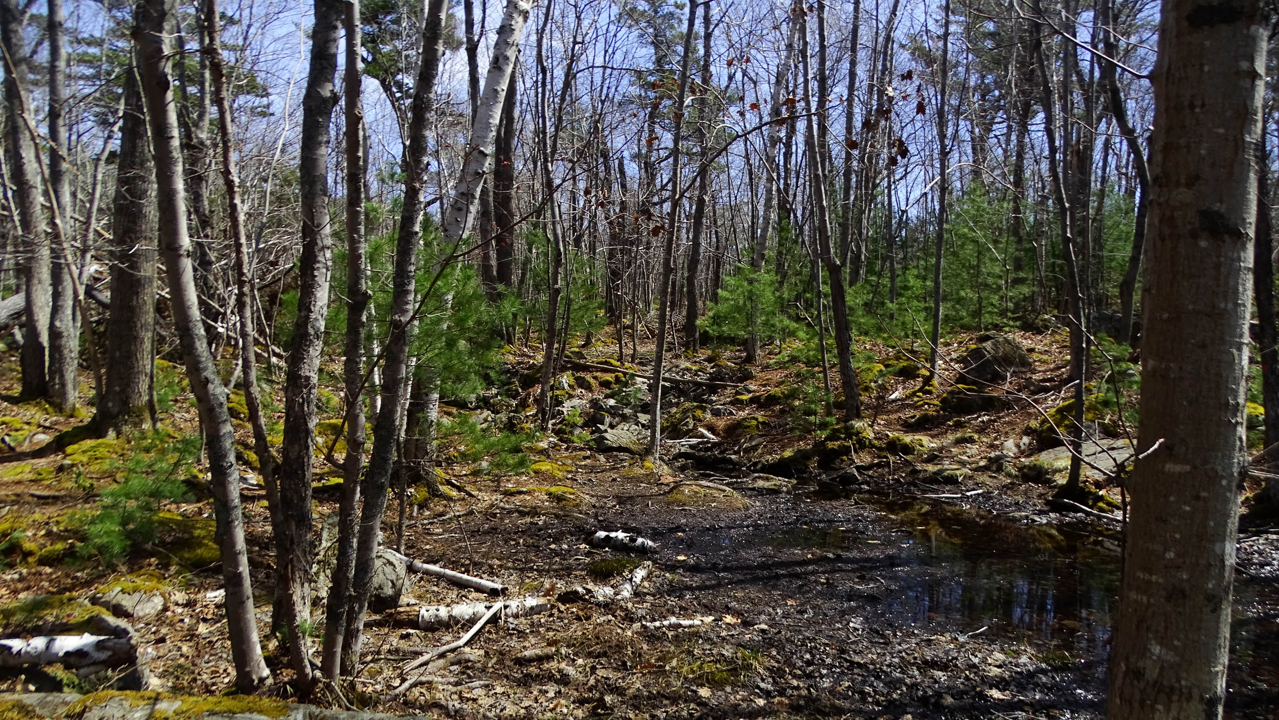
Etu’qamikejk Watercourse, floodplain by open flowing surface water to the left 44.61781, -63.58773
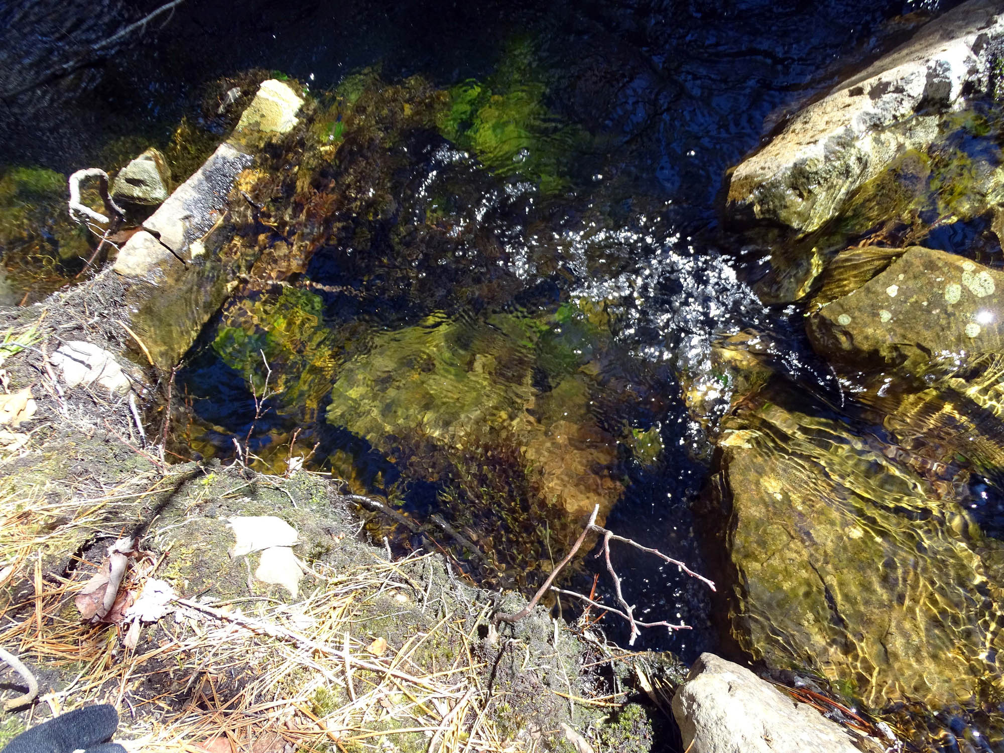
Etu’qamikejk Watercourse: open, flowing (“lotic”) surface water. View upstream (to confirm) 44.61746, 63.58735
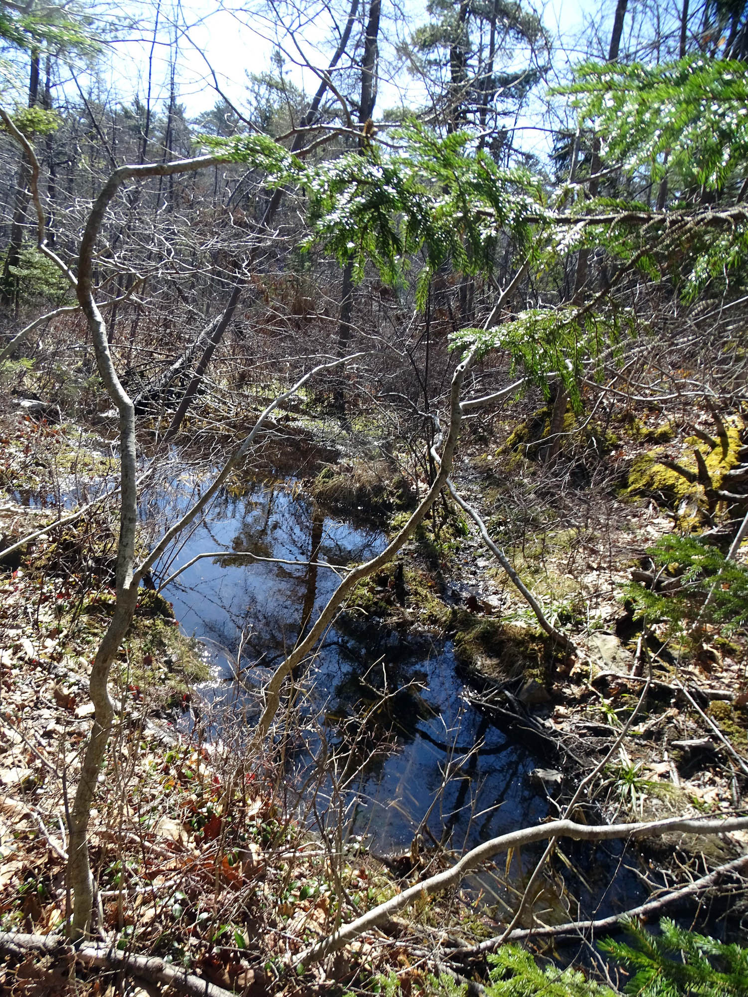
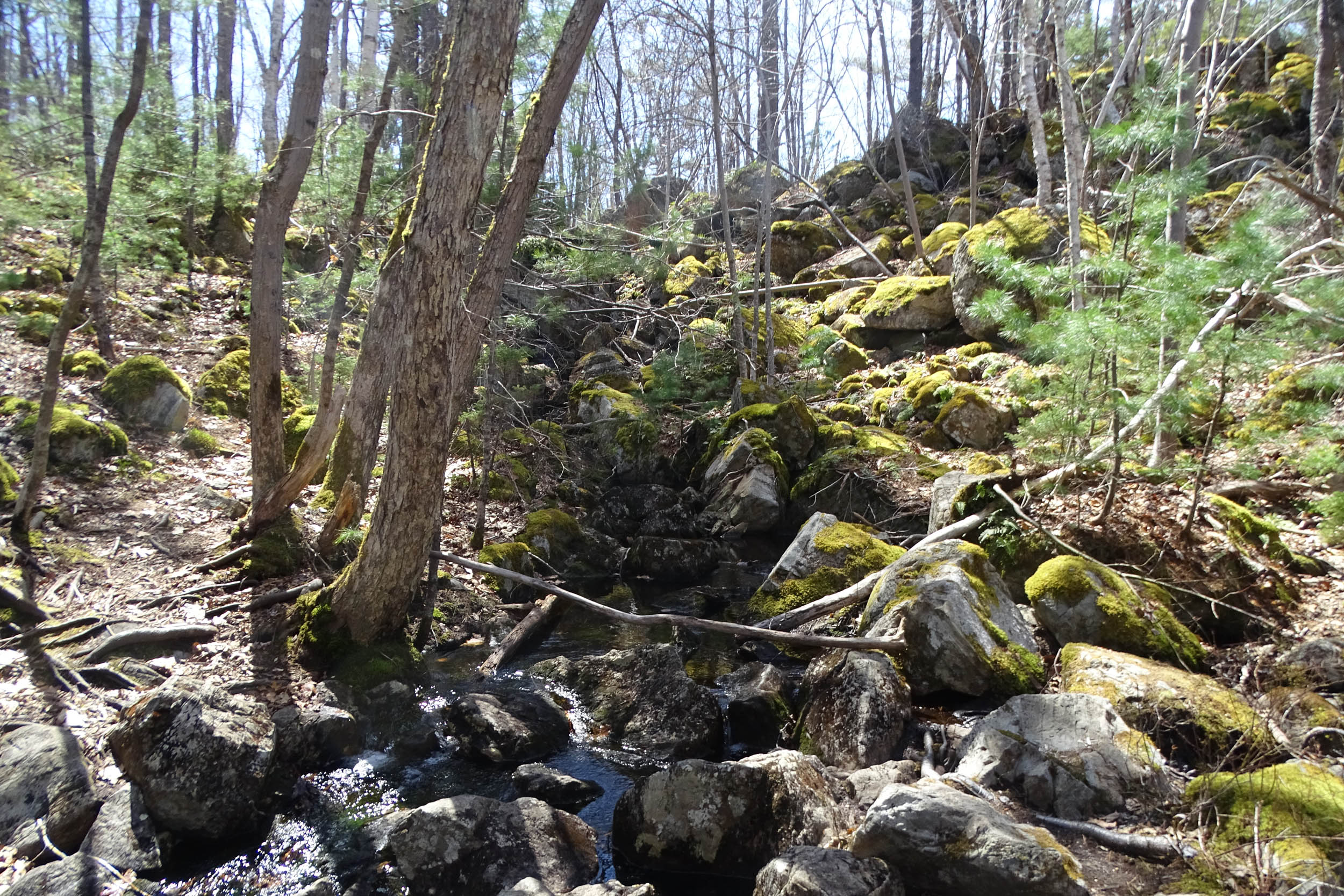
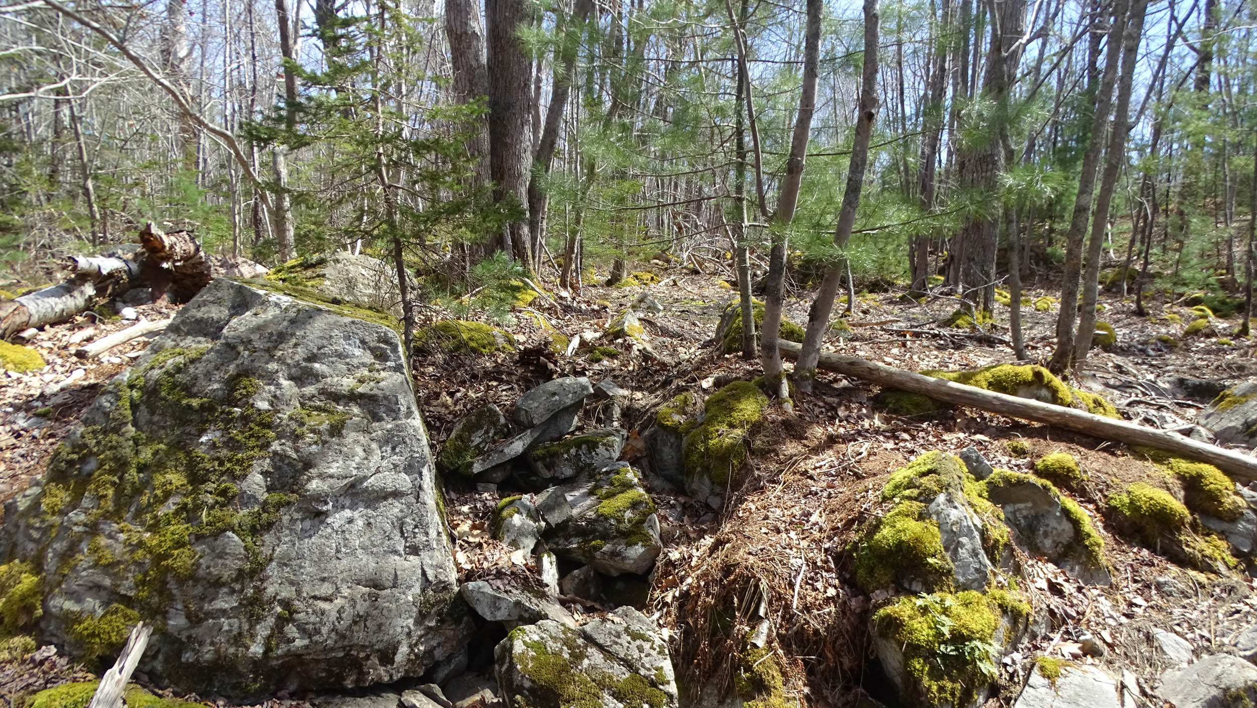
Etu’qamikejk Watercourse: approaching Walquqmikek , the Gulley. Water flow isalternately exposed or just below rocky watercourse. View uostream. 44.61714,- 63.58726
Etu’qamikejk Watercourse: Walquqmikek , the Gulley. View lookimg upstream 44.61700, -63.58726
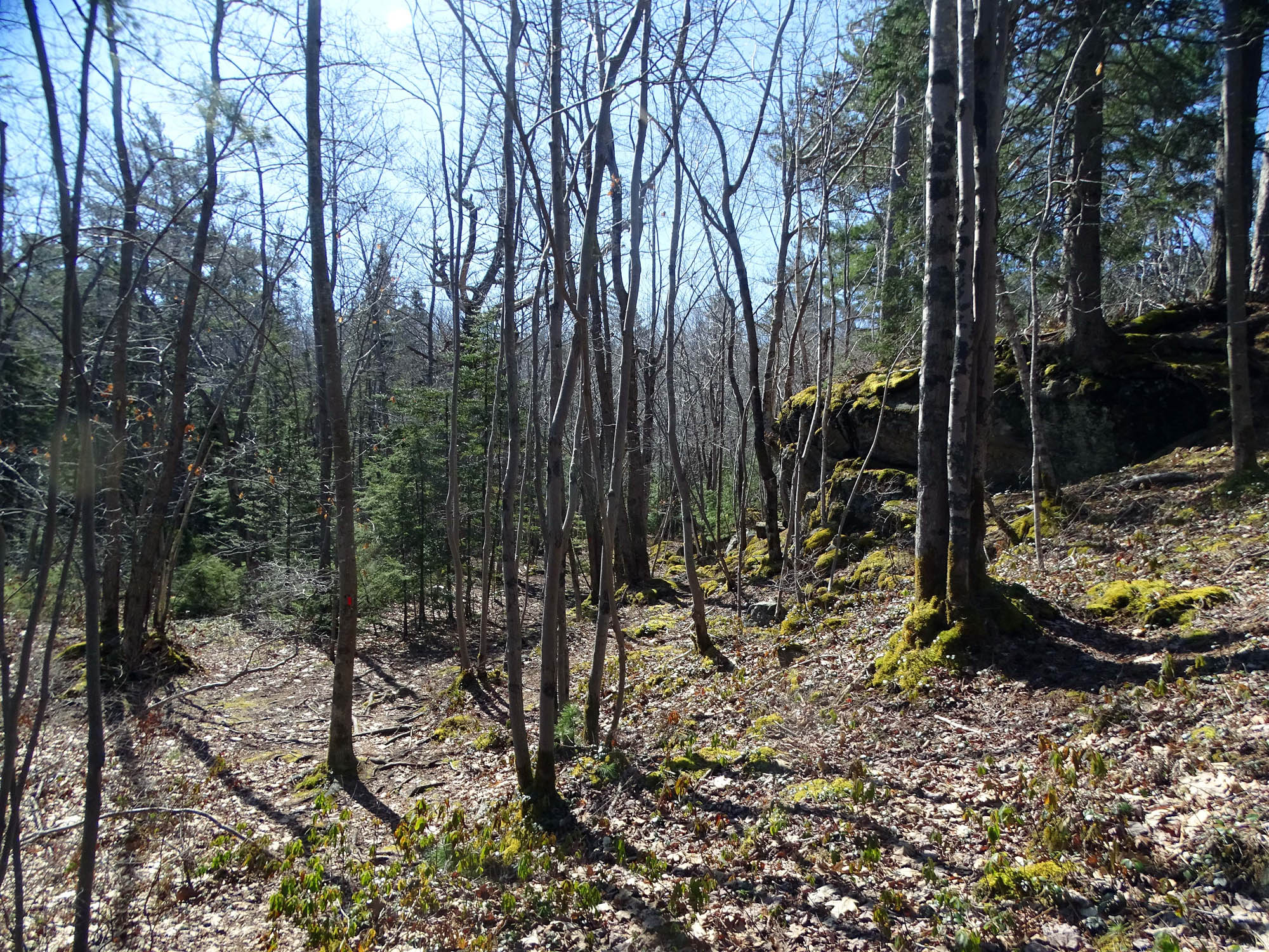
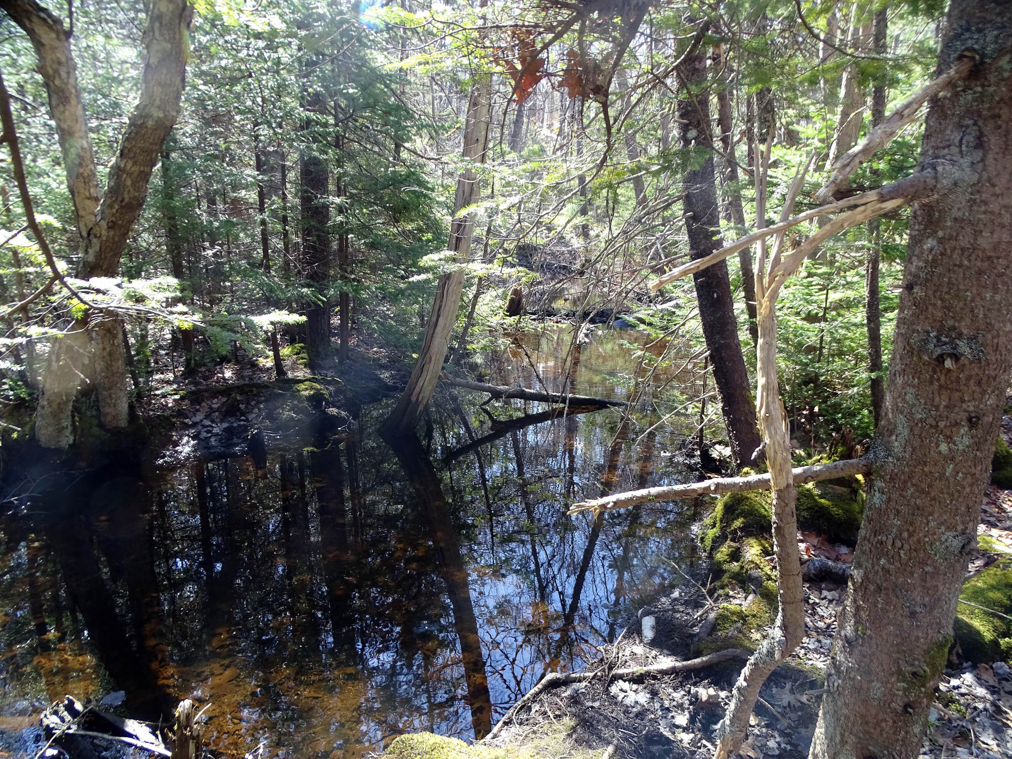
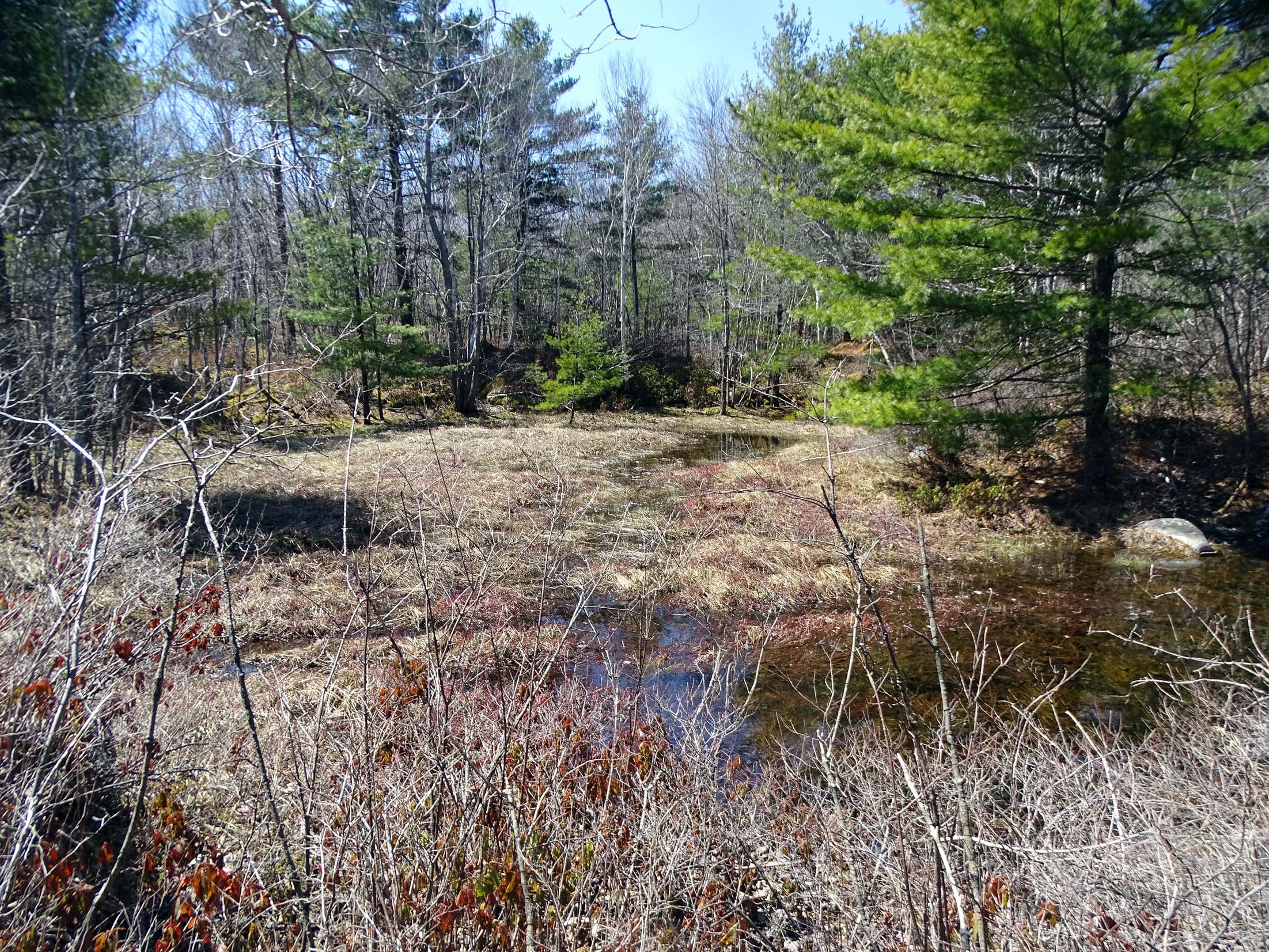
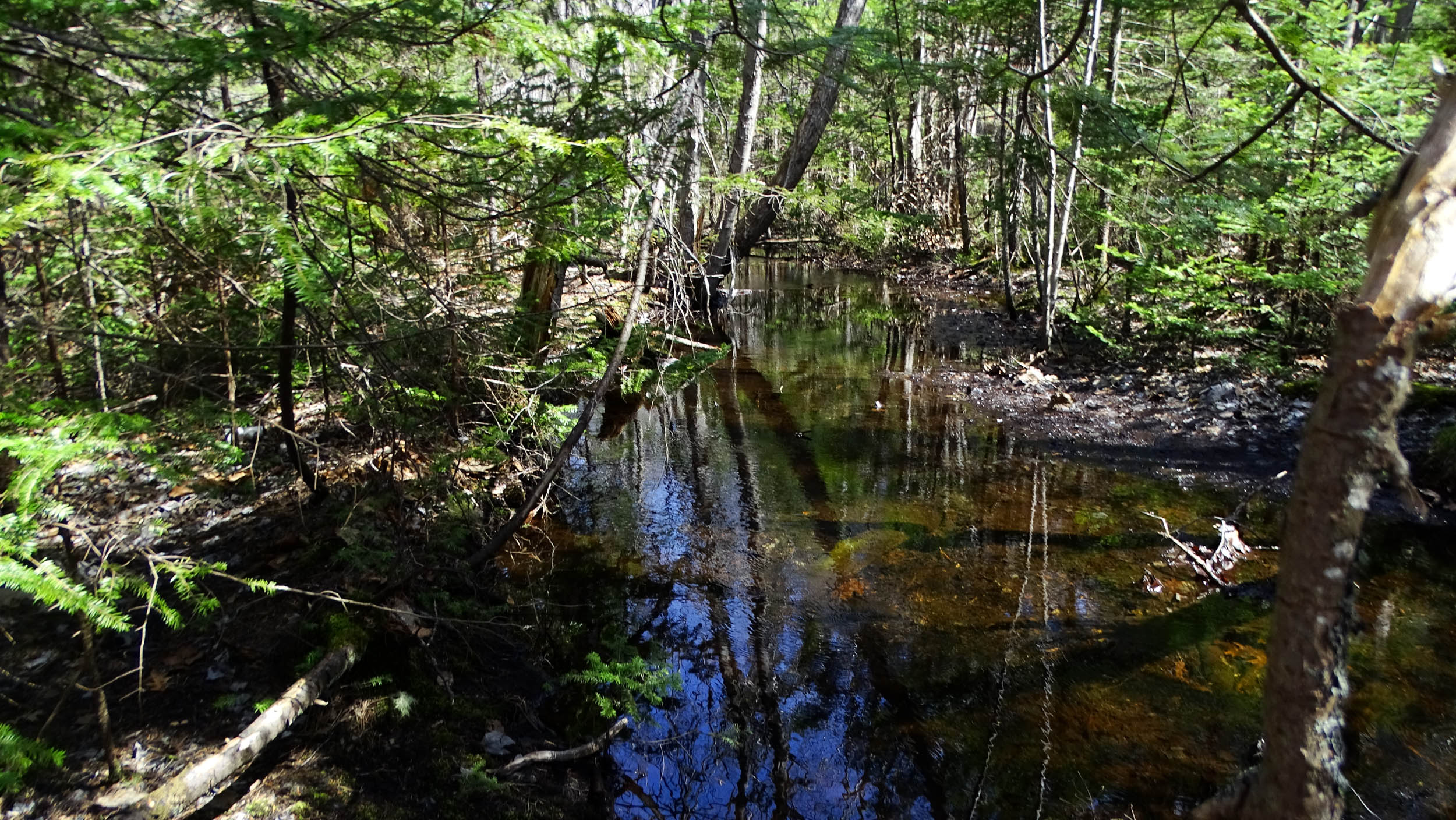
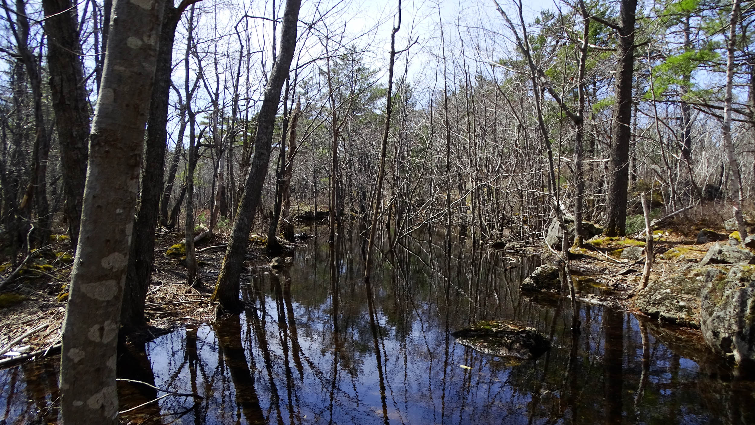
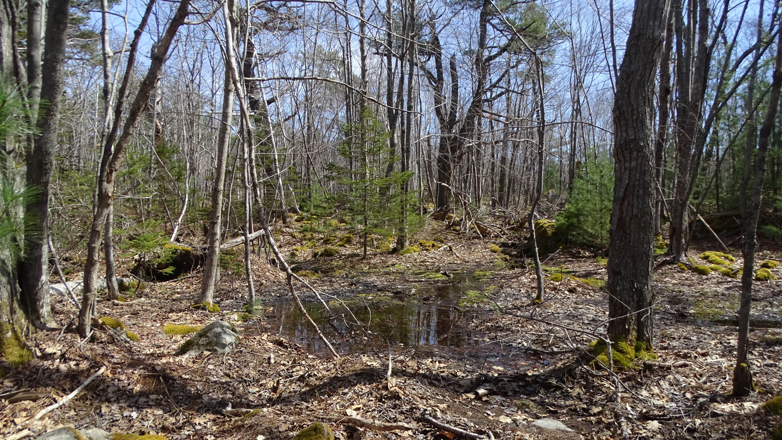
Etu’qamikejk Watercourse, on top of Walquqmikek(the Gulley) looking west: a portion of Skipaqmikt, a large seasonal swamp/vernal pool complex (L0). 44.61676, -63.58741
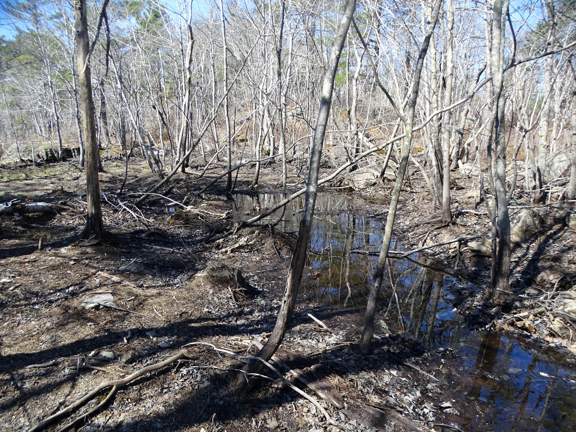
In Skipaqmikt, a large seasonal swamp/vernal pool complex, towards the north side, some slow-flowing surface water. 44.61675, -63.58777
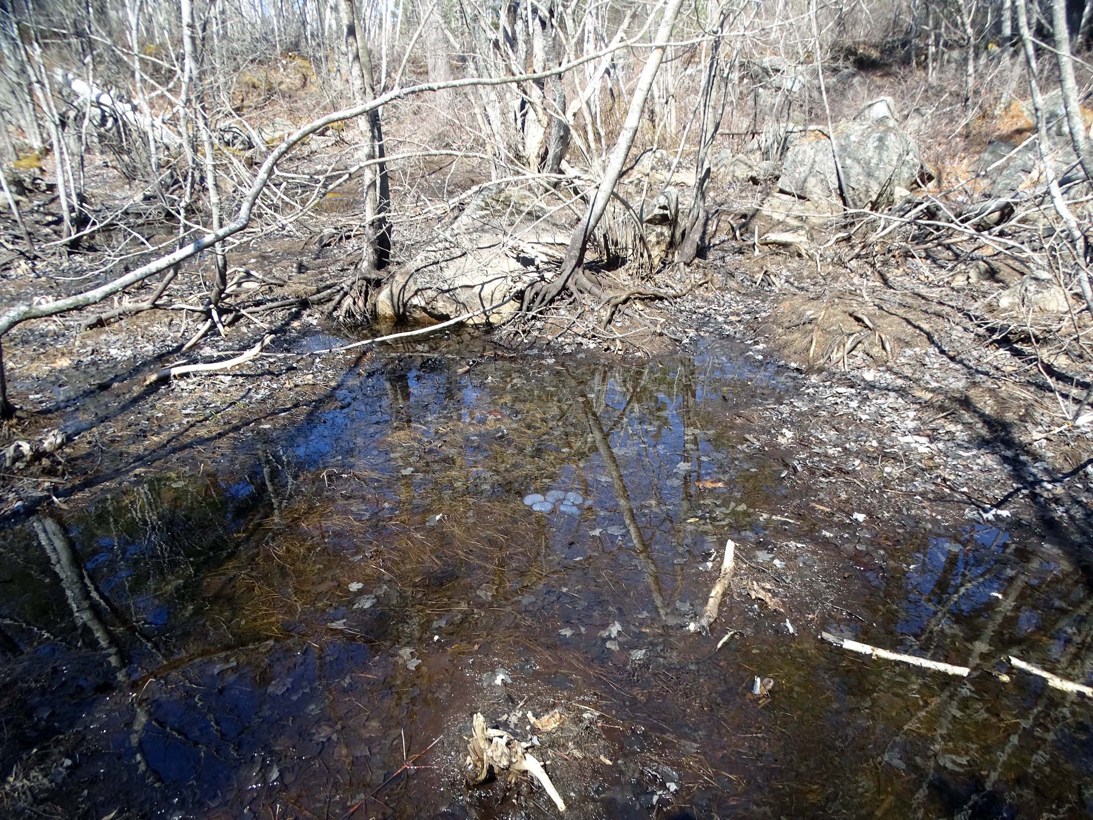
In Skipaqmikt, a large seasonal swamp/vernal pool complex, towards the north side, area of slow-flowing surface water, salmander egg mass visible. 44.61666, -63.5879
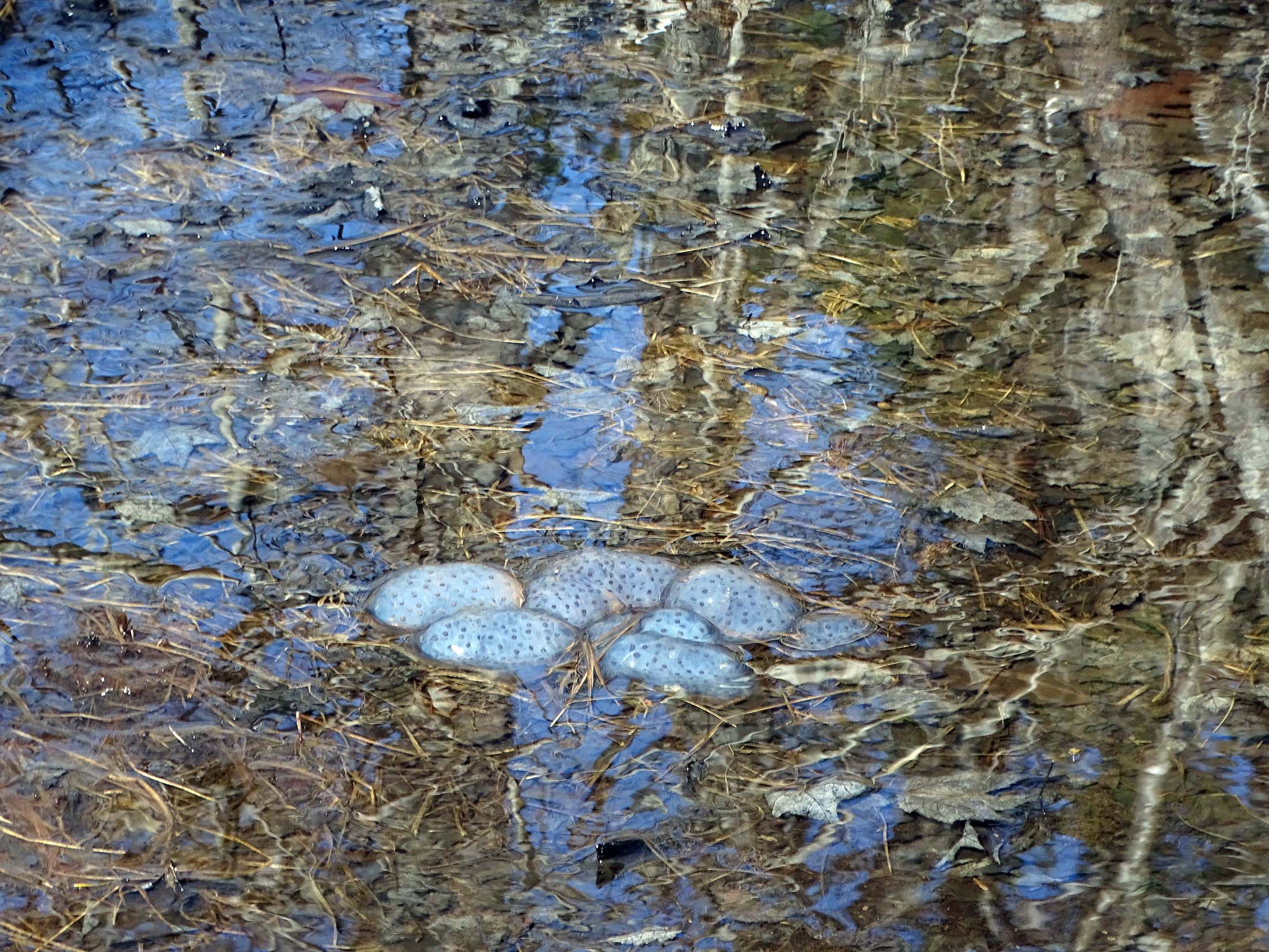
Close-up of Salamander egg mass cluster. 44.616788, -63.58782
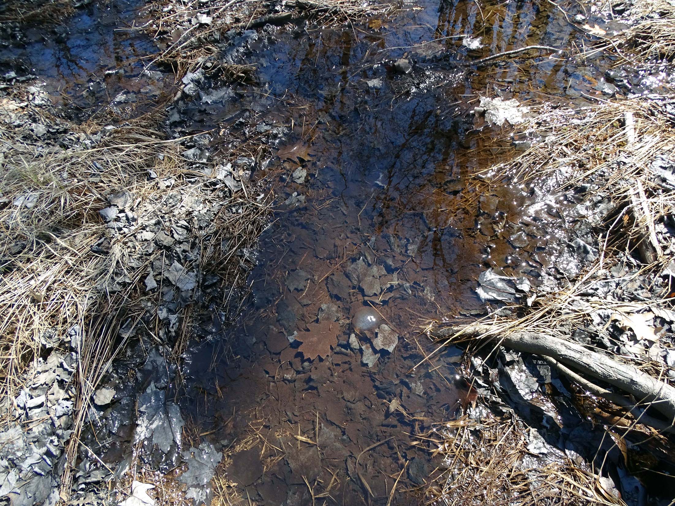
A single salamanader egg mass in L0. 4.61670, -63.58792
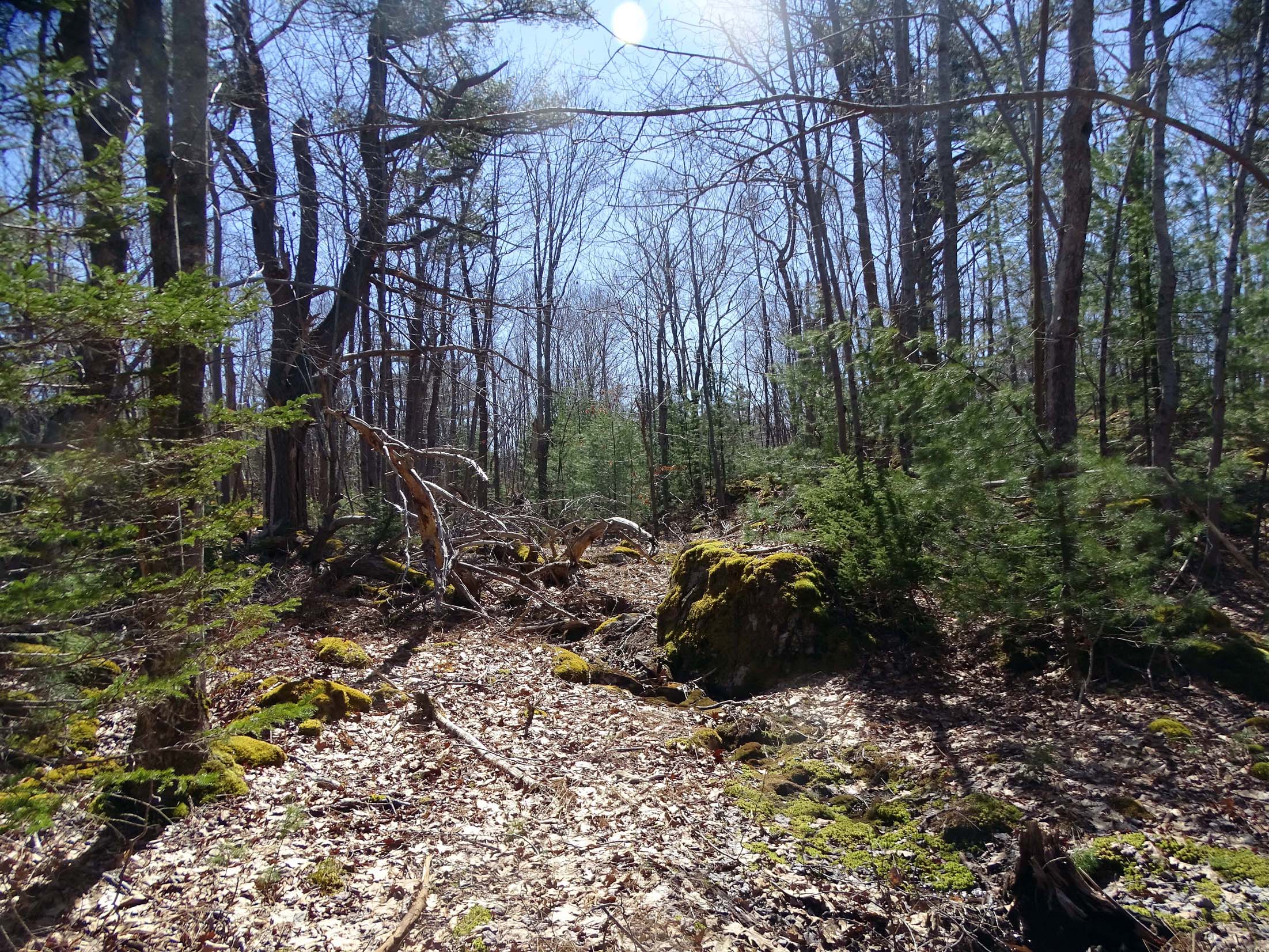
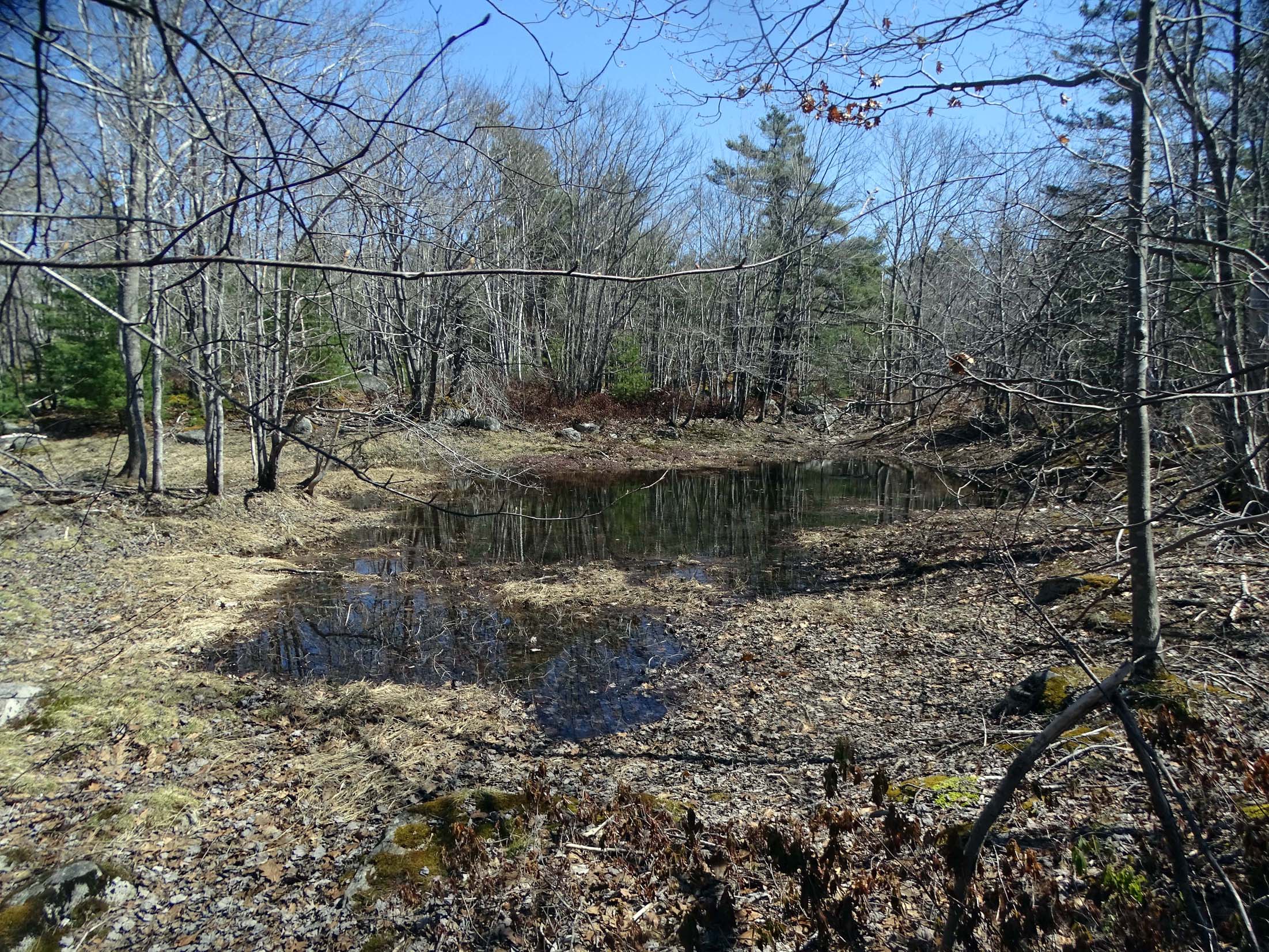
In Skipaqmikt, a large seasonal swamp/vernal pool complex, towards the south side, looking approx south towards a secondary watercourse. Note the rocks and debris on the rise to L1. 44.61662, -63.58725
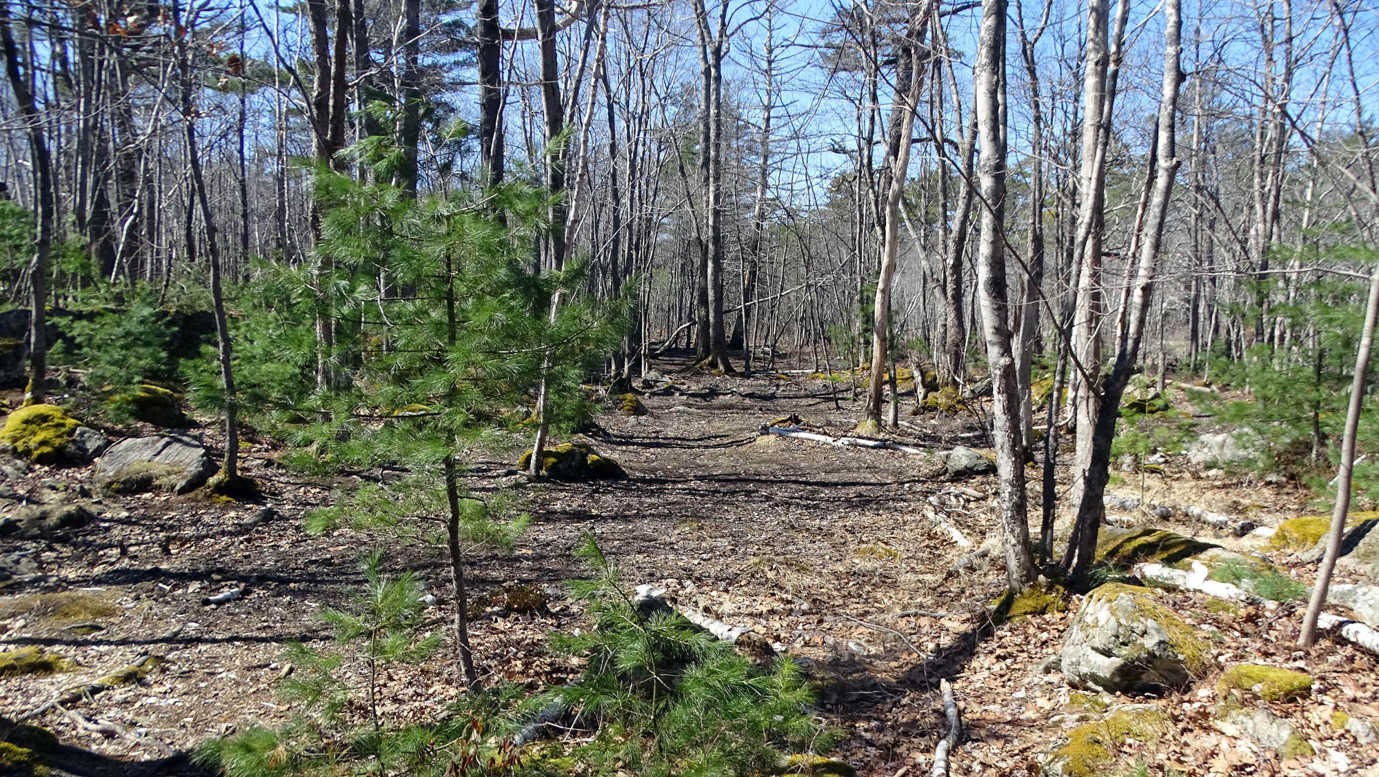
Vernal Pool L1. Blackened leaves to the margin of the bare area indicate the larger area was flooded for a period sufficient to cause anoxic conditions.
Screenshot from Video
44.61629306, 63.58686306
44.61583639, 63.58704306

44.61576806, 63.587135

44.6157, 63.587435
screencapture from video
44.6157, 63.58745139
44.61591806, 63.58638639
44.61585, 63.58619972
44.61576, 63.58597472
2024 Photos
——–
44.617864, 63.587726
Screenshot
———-
44.617455 63.58746
Screenshot
————
44.617163, 63.587376
Screenshot
————
44.616866, 7328
Screenshot
———–
44.61678, 63.587469/caption]
 Screenshot
——–
Up to L1, 44.616703, 63.58739
——-
L1 44.61667. 63.58737
Screenshot
———–
UP TO L2