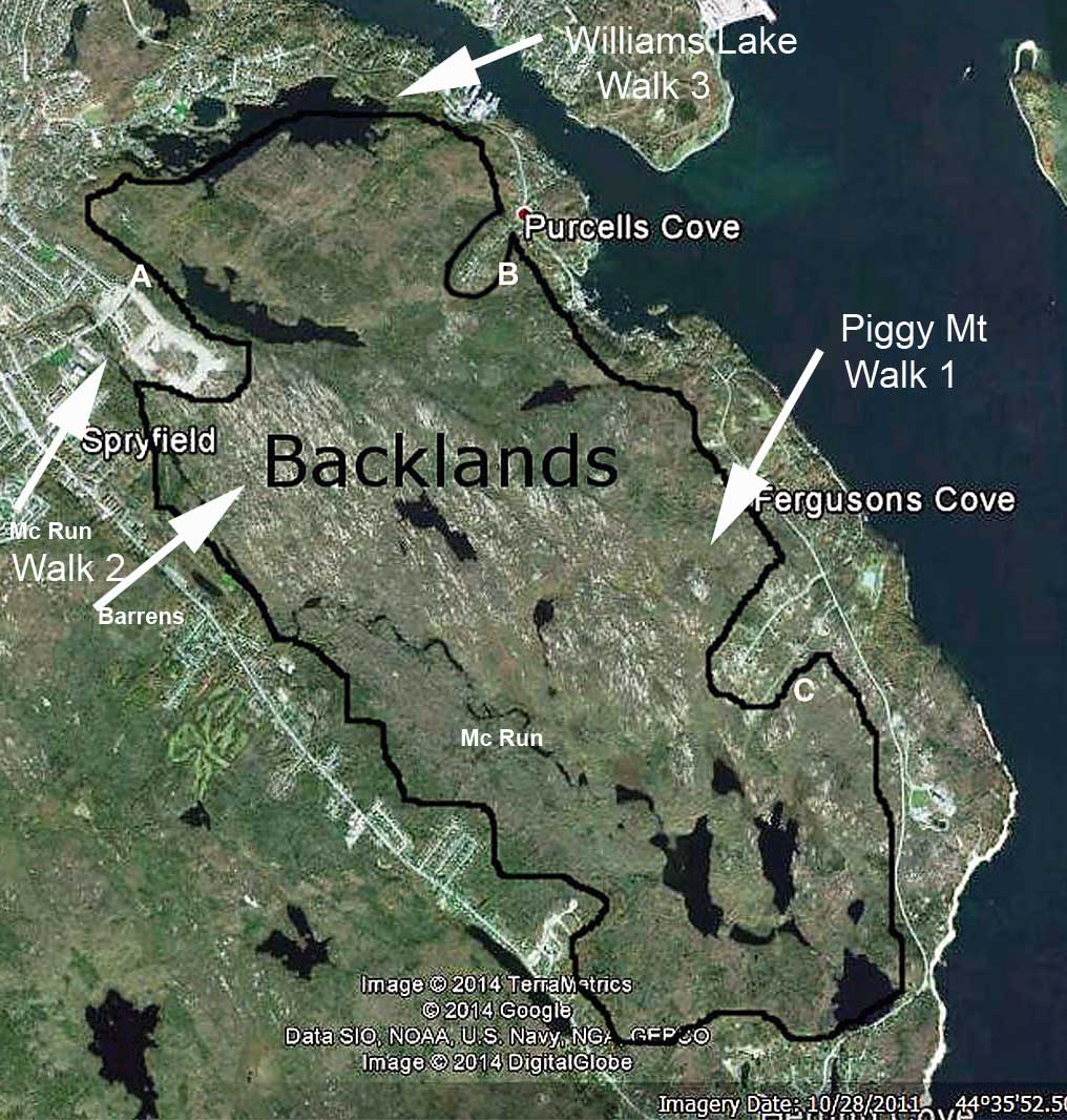
Backlands 360 walks
on May 3, 2014
Walk 3: Williams Lake | 
Click on map for larger version |
Description
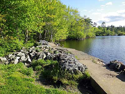
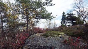
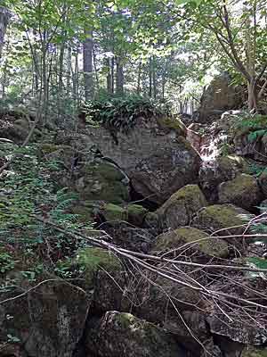
We will walk into the dam at the outlet from Williams Lake, an iconic swimming lake for many Haligonians. Then we will proceed through a mixed Pine-Oak forest along the side of a drumlin to a scenic gully where water flows from wetlands higher up into a stream that empties into Williams Lake. We will pass by a red maple swamp and make our way to the uplands where we will see barrens communities including the globally rare Jack Pine/Broom Crowberry community, both unburnt (at least not recently), and at sites that that burned in 2012.
Directions
Meet at Meet at St Augustine's Anglican Church, 290 Purcells Road, Halifax
at 1:00 p.m. on Saturday May 3rd.
Google Map at: https://goo.gl/maps/t8egM
Metro Transit Route 15: Schedule
Walk departs at 1:30 p.m. Walk wraps up at 3:00 p.m.
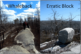 | Some of the glacially sculpted
geological features we will see
read more |
Accessibility:
An informally maintained walking trail with some ups and downs over bouldery terrain, and through some wettish ground; mostly moderate slopes, a few points may require a helping hand.
After the walk
We are inviting all participants to meet at the Purcells Cove Social Club, 505 Purcell's Cove Road for a wrap-up discussion and social event. Refreshments will be available. Google Map at https://goo.gl/maps/JrGfu
|