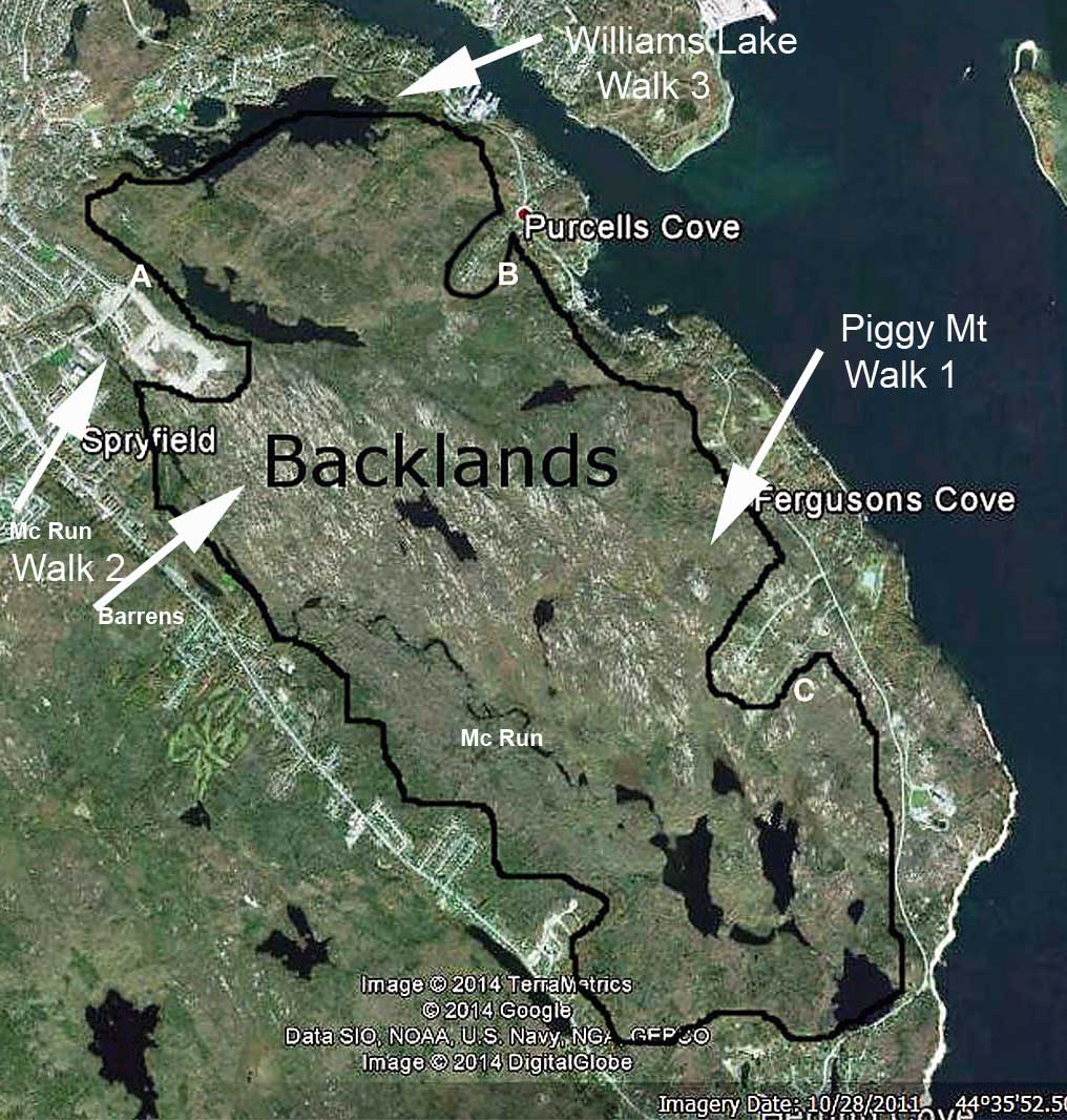
Backlands 360 walks
on May 3, 2014
Walk 2: Upper McIntosh Run
& Colpitt Lake
 |

Click on map for larger version
|
Description
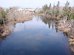
We will walk down the McIntosh Run Community Trail for a short distance to see the watercourse called McIntosh Run (a very important feature of the Backlands), which starts at Long Lake in the north and empties into the sea at Herring Cove in the south. The trail is maintained by the McIntosh Run Watershed Association, a voluntary association working to protect and preserve the river and the surrounding ecosystem.
Then, we will walk through the Governor's Brook housing development which is an example of where the Backlands meet the urban area. On the other side of the housing development, we will see a trail access that has been preserved for Colpitt Lake. We will talk about the ecology and birdlife of this important wetlands and wilderness area which is on the doorstep of Spryfield. Resource people on the walk will include a biologist and a naturalist with extensive knowledge of the Backlands.
Directions
Meet at Spryfield Lions Rink, parking lot, 25 Drysdale Road, , Halifax
at 1:00 p.m. on Saturday May 3rd.
Google Map at: https://goo.gl/maps/uKXwj
Metro Transit Route 20: Schedule
Walk departs at 1:30 p.m. Walk wraps up at 3:00 p.m.
Accessibility:
Maintained walking trail and paved streets. Moderate slopes. Wheelchair accessible EXCEPT for trail access to Colpitt Lake.
After the walk
We are inviting all participants to meet at the Purcells Cove Social Club, 505 Purcell's Cove Road for a wrap-up discussion and social event. Refreshments will be available. Google Map at https://goo.gl/maps/JrGfu
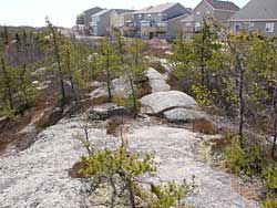
 | Granite is exposed through much of the area where we will walk. The granite magma formed at great depth ca. 380 million years ago... read more |
|